Route Description
Start Point: Car Park opposite craft centre in Ruthin. Just off the roundabout where the A494 and A525 converge.
Grid Reference : SJ128586
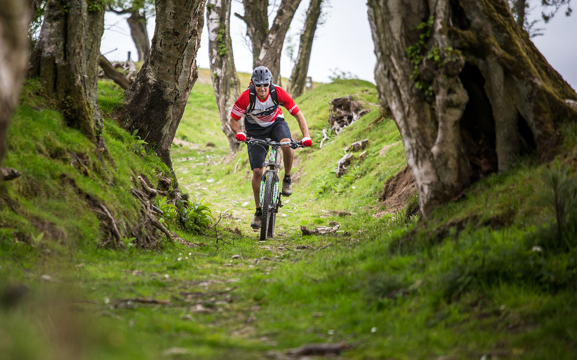
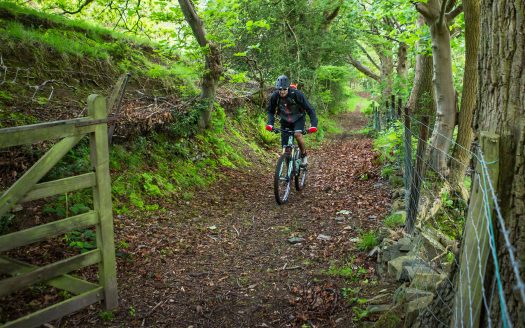
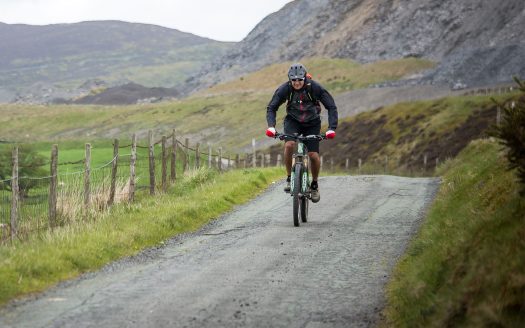
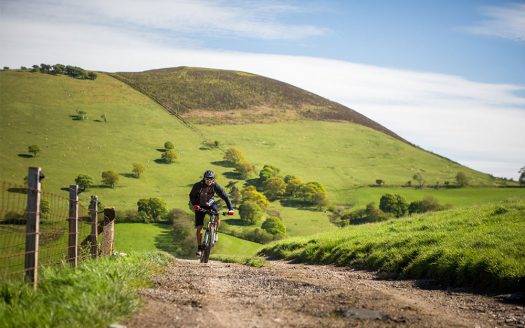
Ridden in a clockwise direction this ride really does have a wilderness feel about it. With the start and finish in the historic market town of Ruthin, the route soon gets you out onto the hillside with a tough climb straight up and over the Range. The route then takes you across the eastern side of the Range and through Clwyd Forest before the welcome descent back into the Vale of Clwyd. A ride that requires a degree of fitness with rewards to match.
On The Map
Area: North Wales
Visit Wales Grading: 5*****
Grade: Hard
Height Climbed (metres): 730
Route Type: Mountain Bike Trail
Ride Time (hours): 5
Distance: 30+km
OS Map Required: OS Explorer 265
Trail Facilities: Local
Nearby
Loop de Loop
Comprising of 5 interlinked loops, this route really has the potential to test even the mo ...
Comprising of 5 interlinked loops, this route really has the potential to test even the most hardened rider!
Almost the Delyn
The Delyn Challenge was an annual endurance event held along the Clwydian Range.
The Delyn Challenge was an annual endurance event held along the Clwydian Range.


